In a previous post I showed some examples of how railroads influenced the shape of Interstate 5 in California. In this post I have some more examples of what I call "road archaeology". Looking at the present roads, we can make guesses about the past.
In Las Vegas the major casinos are along "The Strip". Just to the west of this is the interstate highway, I-15. What is the history here? My guess, following the patterns from the previous blog post, would be that "The Strip" was the original highway, and I-15 was built parallel to it. If you look through Historial Aerials you can see that this is indeed what happened. Here's the interactive map to browse:
It's not obvious from that map though, because Las Vegas is much larger than the examples in the previous blog post. I made some drawings of what to look for:
Another useful tool to explore road history is Google Earth. The standalone app (but not the web app, or Google Maps) lets you see historical imagery. An example is Bend, Oregon, USA. They built a parkway to the west of the main street:
Here's how it looked in 1994, 2000, and 2004 in Google Earth:
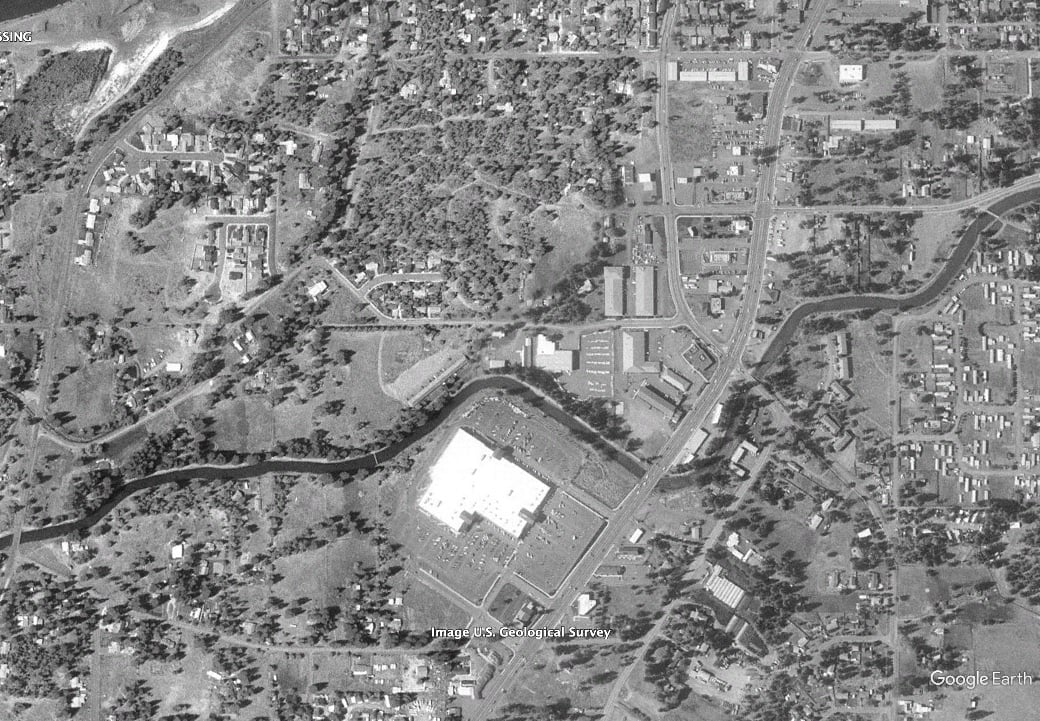
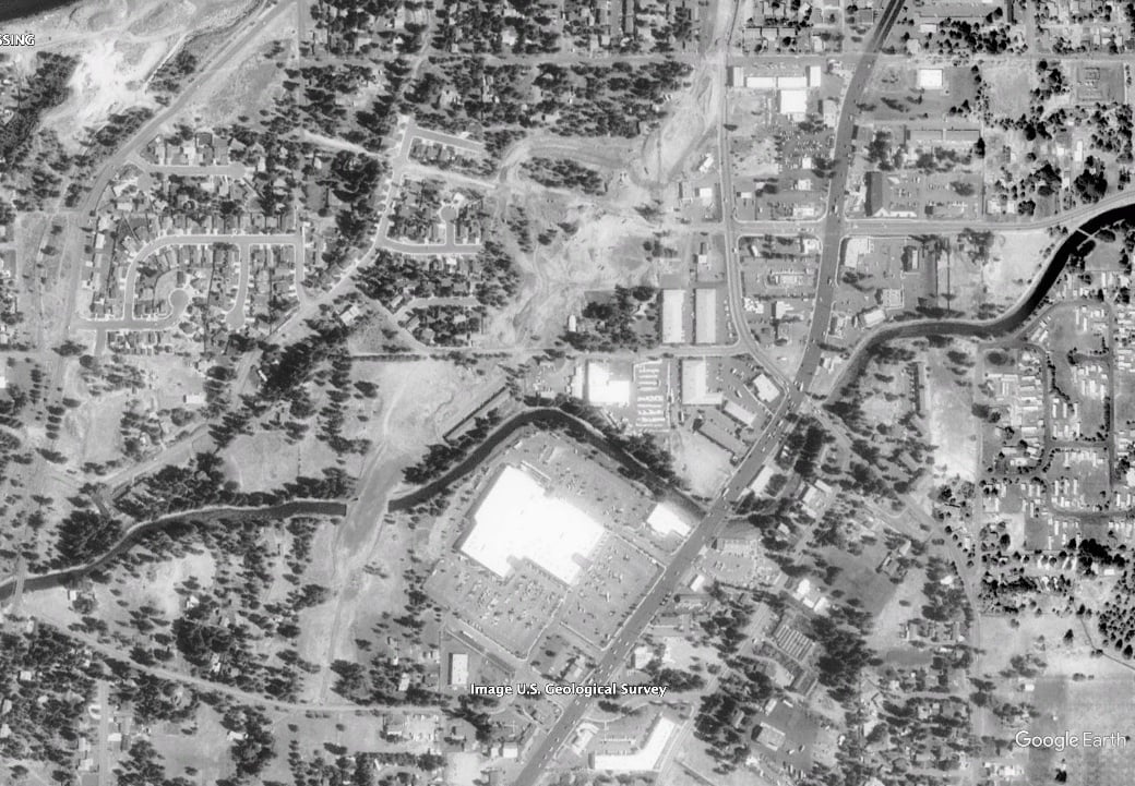
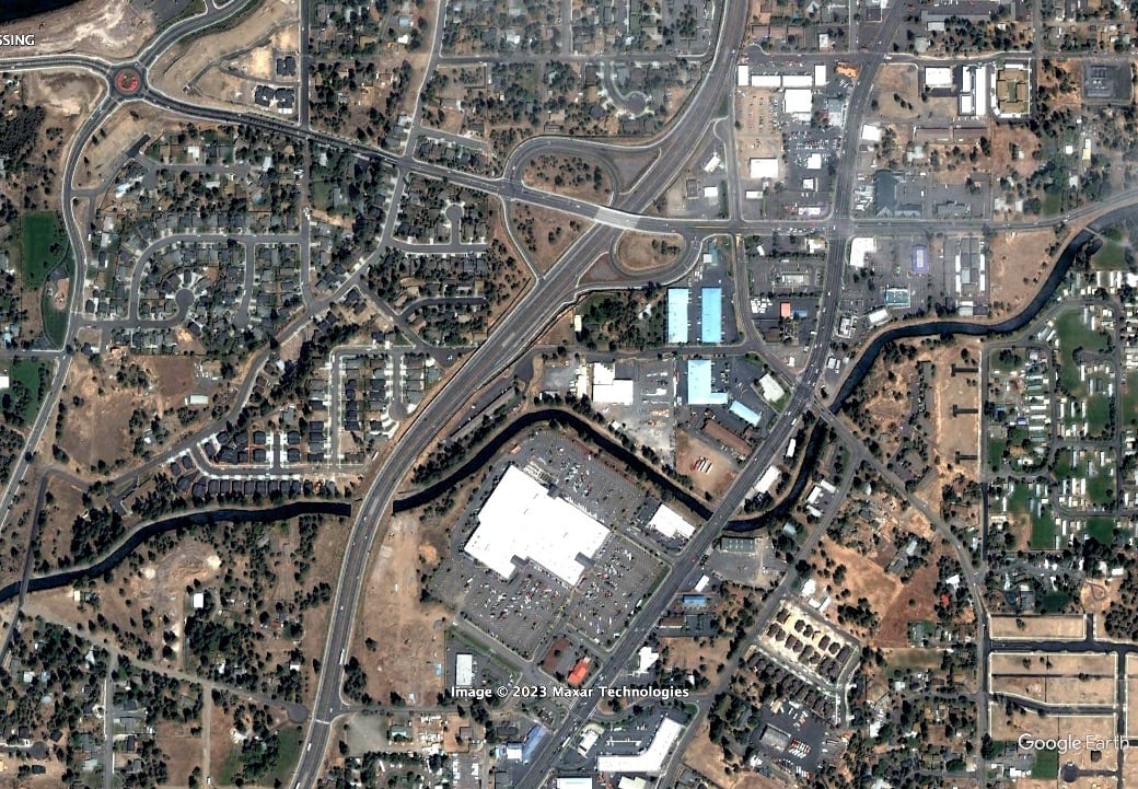
You can see how it was regular land, then cleared for the parkway, and then the parkway was constructed.
These changes leave behind clues to what was there before. Historical Aerials and Google Earth can sometimes tell us more.
Labels: transportation
Very interesting!
It’s amazing and a bit scary what an impact the automobile has had on the land, especially with the building codes of many cities mandating a certain number of parking spots, causing buildings to be built strictly for cars.
A recent article I read and can recommend: Toward a Land of Buses and Bikes by Bill McKibben.
Post a Comment